
Derisking the underground
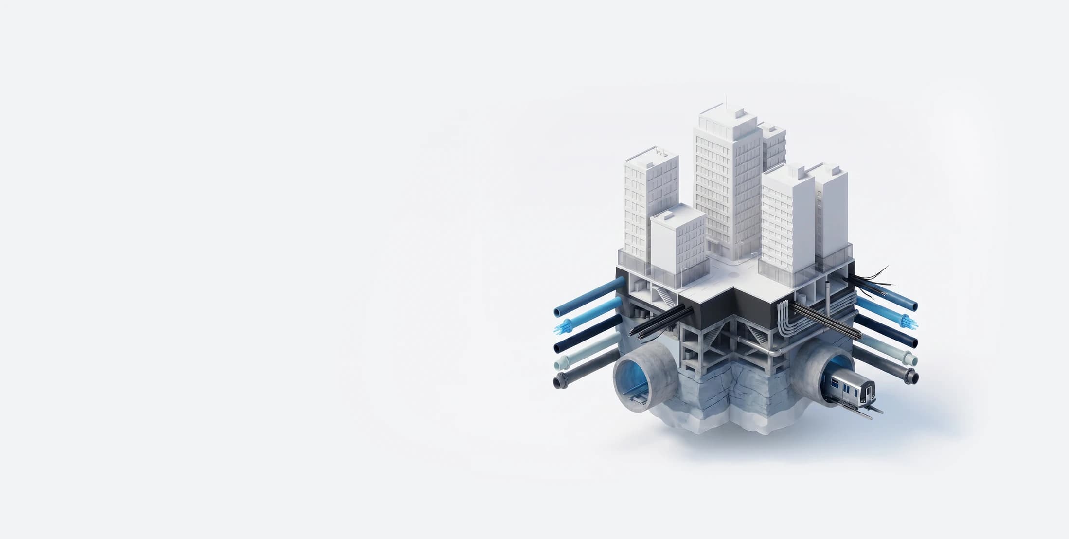
Exodigo uncovers utilities, foundations, and geotechnical conditions beneath complex infrastructure projects—without ever breaking ground—and transforms that knowledge into actionable insights and clear visualizations.
The Exodigo difference
Traditional approaches leave critical underground risks unseen.
Exodigo combines advanced multi-sensor fusion, proprietary technology, artificial intelligence, and a team of engineers and geophysicists to deliver the industry's most reliable underground truth. From data capture and analysis to design, utility coordination, and risk management, we provide a complete, accurate understanding of the underground so infrastructure projects can be designed and built with confidence.
- $75Bde-risked infrastructure investments
- 86.1Msquare feet scanned and mapped
- $200M+venture capital funding
- 100+global customers
The Workflow
Four stages. One unified approach.
By making AI-powered subsurface intelligence foundational to planning, design, and construction, Exodigo is transforming how infrastructure projects are delivered—replacing reactive risk management with informed decisions made early, before problems surface in the field. Exodigo creates a single source of truth for the underground, helping teams reduce cost, schedule, and safety risk from day one.
Our Solutions
Remote Data Intelligence
Start with everything that already exists.
Our proprietary AI uncovers and connects public project intelligence—from utility records and as-builts to geotechnical reports, satellite imagery, permits, and more—creating a reliable, analysis-ready map with fully traceable insights.
ExoInfo
The stakes
What you don't know can cost you. Time, money, and people's safety.
Every 62 seconds, a utility strike happens somewhere in the U.S., and damage-prevention failures waste an estimated $61 billion a year. Most of it is avoidable. 94% of incidents trace back to subsurface data that was incomplete, outdated, or wrong. That gap between what records say and what's actually there stays invisible until construction is underway, when it turns into a strike, a redesign, or a stoppage.
That uncertainty reaches every project, and more than 70% run late because of preventable underground conflicts. Exodigo closes the gap before you break ground, with a complete, accurate read of what's below, so projects move with fewer surprises and change orders.
Sources: CGA DIRT Report; IPC; ASCE
Proven results
Real projects, real impact.
Here's what subsurface clarity returns.
- 138%ROI on scanning services to avoid change orders over a three-year period — National Grid
- ~$10Msaved identifying sewer line in conflict with preliminary design — Major state Department of Transportation
- 3×faster BIM delivery through smarter workflows and automation — Northeast transit megaproject
Our customers
The underground is clearer for 100+ teams worldwide





Ready to build with greater certainty?
Bring us your next project. We'll show you what's beneath it.